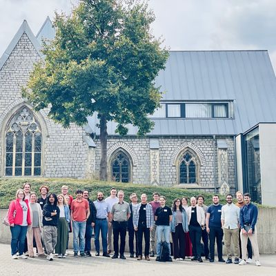
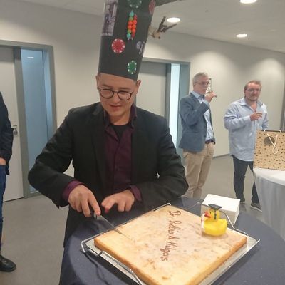
Congratulations to Dr. Ankit Patnala on successfully defending his PhD!
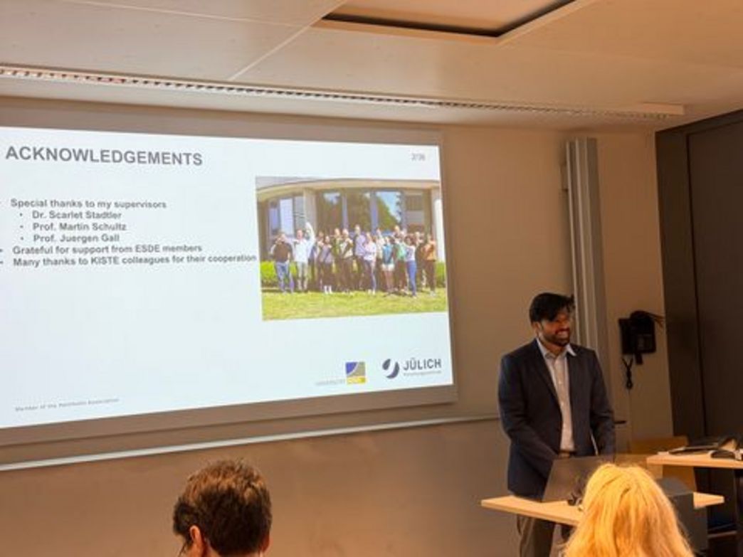
Ankit was supervised by Dr . Scarlet Stadtler, Prof. . Martin Schultz and Prof. Jürgen Gall Prof. His dissertation titled “Exploring Self-Supervised Learning Methods for Landcover Applications Using Remote Sensing Data”.
Human activities like farming, construction, and industry change Earth's surface in ways that need to be carefully tracked — but analyzing the massive amounts of satellite data involved is costly and slow when done manually. Ankits research developed smarter AI techniques that learn from unlabeled satellite imagery on their own, reducing the need for expensive human annotation while improving the ability to classify land cover and crop types across time.
Anthropogenic activities such as crop cultivation, forest conservation, urban development, and industrial establishment significantly alter the Earth's surface characteristics. Monitoring and analyzing the Earth's surface helps to understand and manage the limited natural resources, making it essential for sustainable land use planning and informed decision-making processes. While advancements in remote sensing have dramatically increased the availability of data, there remains a need for specialized expertise to handle and interpret such data. While the large amount of remote sensing data enables the use of machine learning, annotating data is a time-consuming and expensive process limiting the applicability of supervised training techniques. Recent developments in self-supervised learning, particularly contrastive learning, have shown promising results. A key advantage is that this method is largely independent of manual annotation since the target for the optimization process can be constructed from the available data itself. Due to the pre-training, the required amount of annotated data is significantly reduced compared to applications where the machine learning model is trained on annotated data only. However, these techniques have been primarily designed for natural images in computer vision. For instance, Earth observation data often includes multiple spectral bands beyond the visible spectrum, contains temporal information, and requires domain-specific knowledge for interpretation. By addressing these differences, this thesis aims to bridge the gap between traditional self-supervised learning techniques and the specific needs of Earth observation. The initial phase of this research highlights the importance of spectral bands beyond RGB in land cover analysis. Building on these findings, atmospheric transformation is proposed for contrastive self-supervised learning on remote sensing images, addressing the challenge of meaningfully handling multiple spectral bands. While effective for land cover classification, these methods are less suitable for time series crop classification. To develop a self-supervised approach for time series data, multi-modal self-supervised methods for crop classification have been proposed. When evaluated on 9 different time series crop classification tasks, the multi-modal approach outperforms existing uni-modal approaches developed for tabular data such as spectral measurements. Although these methods effectively handle complex multi-spectral temporal data for crop classification, future research should explore techniques that can utilize dense spatial information to develop more capable models.
We congratulate Ankit on his successful defense and wish him all the best in his future endeavors.